Information not accurate?
Help us improve by making a suggestion.
The Town That Went Under the Water: The Explore Dana Common Quabbin Hike in Petersham
The Explore Dana Common Quabbin Hike runs Saturday, June 7, 2026, from 10 a.m. to 1 p.m., departing from Quabbin Gate 40 in Petersham, MA. A free guided 3.6-mile round trip through cellar holes, stone walls, and mossgrown roads of Dana, one of four Swift River Valley towns deliberately submerged to create Boston’s water supply in 1938. No dogs; confirm registration at the Quabbin Visitor Center.
Event details
In 1938, the Metropolitan District Commission completed the flooding of four Swift River Valley towns, Enfield, Greenwich, Prescott, and Dana, to create the Quabbin Reservoir, the drinking water supply for metropolitan Boston. Approximately 2,500 residents were relocated, bodies were exhumed from 34 cemeteries and reinterred, and the buildings were demolished or burned before the watershed was sealed to public access. Dana, the smallest of the four towns, had its common, its town hall, its churches, and its farms standing on higher ground than the others, meaning that its foundations and stone walls survive above the current water level and remain accessible through the restricted-access watershed that the Quabbin watershed management operates. The Explore Dana Common Quabbin Hike, a free guided walk departing from Quabbin Gate 40 in Petersham, Massachusetts, runs Saturday, June 7, 2026, from 10:00 a.m. to 1:00 p.m., traversing a 3.6-mile round trip through the cellar holes, stone walls, and old paved roads that constitute one of the more unusual living historical environments in New England.
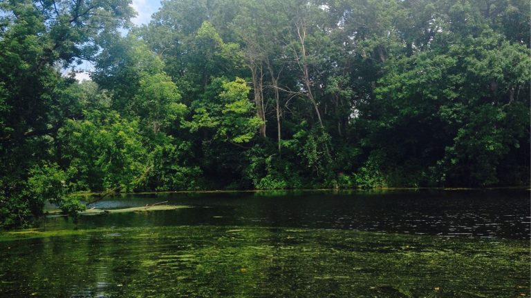
The trail follows the former town roads through a second-growth forest that has reclaimed the agricultural landscape of the Swift River Valley in the 88 years since the valley was cleared. The old pavement is now moss-covered and root-broken; the stone walls that bordered fields and property lines still stand where the forest has not toppled them; the cellar holes of individual houses are visible as rectangular depressions in the ground. Knowledgeable guides share the documented histories of specific structures and families through the walk, giving the physical remnants an individual narrative depth that the landscape’s silence alone cannot carry. The hike is free and open to all ages. Dogs are not permitted. Dress appropriately for early June conditions in the Central Massachusetts highlands and bring sufficient water for a three-hour walk.
The Quabbin Reservoir and Its Watershed
The Quabbin is one of the largest inland bodies of water in New England at 38.6 square miles, and its managed watershed of 186,000 acres constitutes one of the most extensive roadless forest blocks remaining in southern New England. The watershed’s restricted-access status, while it eliminates conventional recreation, has produced a wildlife haven that supports nesting bald eagles, breeding common loons, and timber rattlesnakes in an undisturbed forest environment that the surrounding developed landscape does not sustain. The Quabbin’s bald eagle population, which began recovering in the 1980s when the species was reintroduced to the watershed, is now one of the most successful inland eagle nesting communities in the northeastern United States.
Good to Know
Quabbin Gate 40 in Petersham is accessible via Gate Road off Route 122A. Parking is available at the gate. The trail is unpaved and moderately demanding on uneven surface through second-growth forest; sturdy footwear is necessary. The hike is organized through the Friends of the Quabbin or the MDC/DCR reservoir management; confirm the organizing body and registration requirements for the June 7, 2026 event through the Quabbin Visitor Center at 485 Ware Road in Belchertown before arrival.
Nearby Accommodations
Amherst, 20 miles south of Petersham via Route 9, provides the most complete hotel, restaurant, and cultural inventory within a practical commute of the Quabbin. Northampton, 25 miles southwest, is the Pioneer Valley’s most complete independent town for visitors who want a more active evening destination after the morning hike. For vacation rental properties near the Quabbin Reservoir and the Central Massachusetts hill towns, look on Lake.com.
Information not accurate?
Help us improve by making a suggestion.