Information not accurate?
Help us improve by making a suggestion.
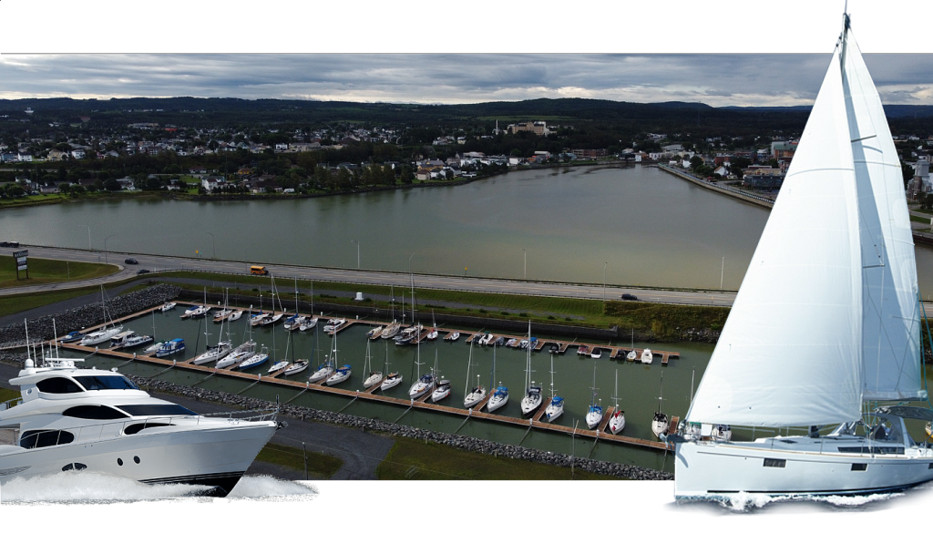
If you are coming from the open sea, you have set your course for the red and white buoy marked “MATAN” (48º51.639’N; 67º32.357’W). If you have not already done so, you simply need to communicate by VHF with the marina staff, on channel 68, to indicate your arrival and the size of your boat and thus be assigned a place at the dock. You will have to ask if the depth at the entrance to the basin is sufficient for you to access the basin. Then enter the characteristic access channel framed by its two large stone jetties, which is also the mouth of the Matane River, probably the most accessible salmon river in Quebec. In front of you, you will see a bridge on Route 132 that allows you to cross the river. A mid-channel light is located on the bridge, in the middle. Before arriving there, turn east to go to the marina basin. This is when you will see the pontoons and just above, on the central reservation, our club’s mascot boat, “The Knorr”, a replica of a Viking ship. How can we explain its surprising presence here? This is an excellent question to start a conversation with our members or employees.
Dockage
- Average price per day:1.7100 CAD per foot (2023/06/26)
- Total:55
- Type:Floating, T Dock, Wood
- LOA Max:50
- Dockage depth:9
- Accessibility:AC Power 30A
Transients use face dock, so you can probably fit a larger boat. A 44 foot boat reported that the slip was shorter than the bow. Went in bow first. Dockage does not include Taxes
Information not accurate?
Help us improve by making a suggestion.