Information not accurate?
Help us improve by making a suggestion.
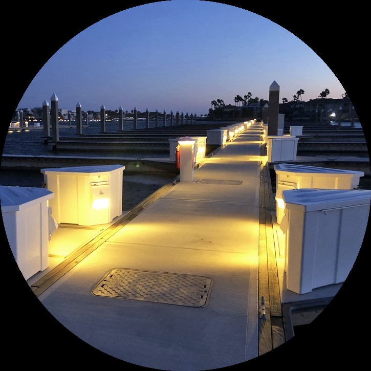
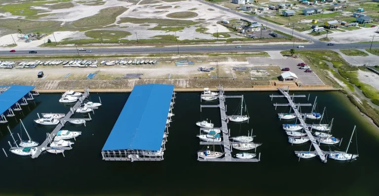
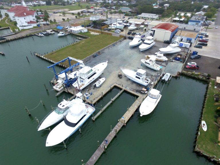
Port Aransas Municipal Harbor, situated at 27.8399631860181° N, -97.06410188718° W in Port Aransas, Texas, stands as a testament to the region’s rich maritime history. This harbor is part of a landscape that has been shaped by centuries of coastal activity, from the early days of pirates like Captain Jean Lafitte, who once made Mustang Island a haunt, to the establishment of regular steamship services between New Orleans and Mustang Island in the 1850s.
The harbor’s location at the Aransas Pass, a natural entry point to Aransas Bay, has long been a hub for commerce and maritime enterprise. Historically, the area was home to shipbuilding, cotton exporting, and oil importing and exporting. Today, the Port Aransas Municipal Harbor continues this legacy, offering a sophisticated and modern facility for boaters and travelers alike, surrounded by the vibrant ecosystem of over 600 species of saltwater fish and the enduring spirit of a coastal town deeply connected to its sea-faring past.
Dockage
- Average price per day:Boats up to 20 feet: $27.00 Boats up to 30 feet: $32.40 Boats up to 40 feet: $43.20 Boats up to 50 feet: $64.80 Boats over 50 feet: $1.46/foot.
- Total:280
- Type:Fixed, Floating, Wood
- LOA Max:50
- Dockage depth:10
- Accessibility:AC Power 30A, AC Power 50A, Liveaboard Allowed
Short V finger piers about 15 feet long then pilings. New floating transient docks opened up in 2011 with over 20 available up to 50 feet. Transient slips are $25 for 20 feet, $30 for 30 feet, $40 for 40 feet, and $60 for 50 feet. Over 50 feet is $1.35 per foot.
Information not accurate?
Help us improve by making a suggestion.