Information not accurate?
Help us improve by making a suggestion.
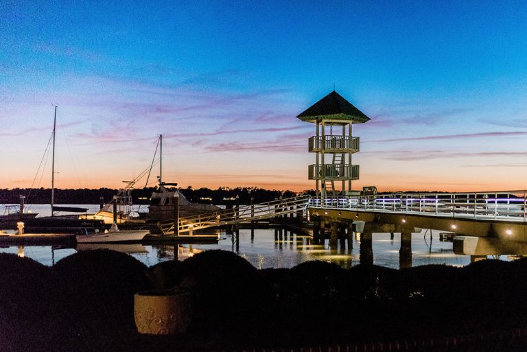
General Oglethorpe landed on the bluff of the Savannah River in 1733. His mission, as authorized by the King of England, was to establish a defense against the Spanish to the south in what is now Florida. He established a fort on the northeast end of Skidaway Island where Priest Landing Marina is now located. In 1758, Half Moon Village was established on the southwest end of the island, fronting on Skidaway River, now named Burnside River. The river was renamed for General Burnside, who was granted Rotten Possum Hammock, now known as Burnside Island. Crown grants were then given as shown on the map below. South Harbor derives from lots 11, 12, 13, and seven hammocks, also shown. These lots were 40 and 50 acres in size. In 1769 Michael Illy sold to Thomas Netherclift. In 1770 Samuel Lyon sold to Jonathan and Agnes Lightenstone. In 1773, the Netherclifts sold to Lightenstone. In 1774 Michael Reitter sold to Lightenstone. Robert Bolton sold to Samuel Lyon, who then also sold to Lightenstone. Then came the Revolutionary War. The Lightenstones were Loyalists and went back to England. Their property was confiscated March 1, 1778 by the Commissioner of Confiscated Estates.In 1927, my father, Thomas W. Lufburrow, bought the land adjoining Union Camp, later the original Landings, extending from the Burnside River to Franklin Creek. During the depression, however, he had to sell, and he was heartbroken. Then in 1946, he, Jack Bryant and Judge Emanuel Lewis began to buy land on Skidaway and eventually owned from the Union Camp line to the southern marshes. In 1969, when the bridge was being built, my father’s two partners decided to sell. He asked if I wanted to sell, and I replied No My father died in August, 1969. In January, 1970 the land was amicably divided, and our share was conveyed under my father’s will. We had much difficulty getting Green Island Road opened, although we had been given the right-of-way for it. It was finally cleared and opened as a dirt road in 1982. After I built our house, Curtis Lewis (who in the meantime had bought some of the land sold by my father’s two partners) and I were able to get the road paved by paying the cost of paving the section that passes through The Landings. On December 16, 1985, we signed the contract for the improvements for the first phase of South Harbor. And the rest is history, which you have helped make! South Harbor got underway in January, 1986, when Loyer Lane and Illy Court finally went on the market after years of hassle with Union Camp to deed the right-of-way for Green Island Road (then named McWhorter), more hassle with Chatham County to open and clear the road, and even more hassle with Union Camp to pay 1/3 of the paving. The bulkhead for the recreation area on the river and the structures at the entrance were constructed that same year.
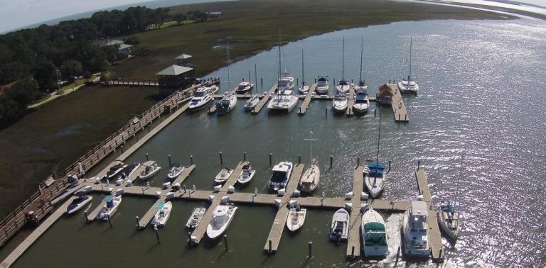
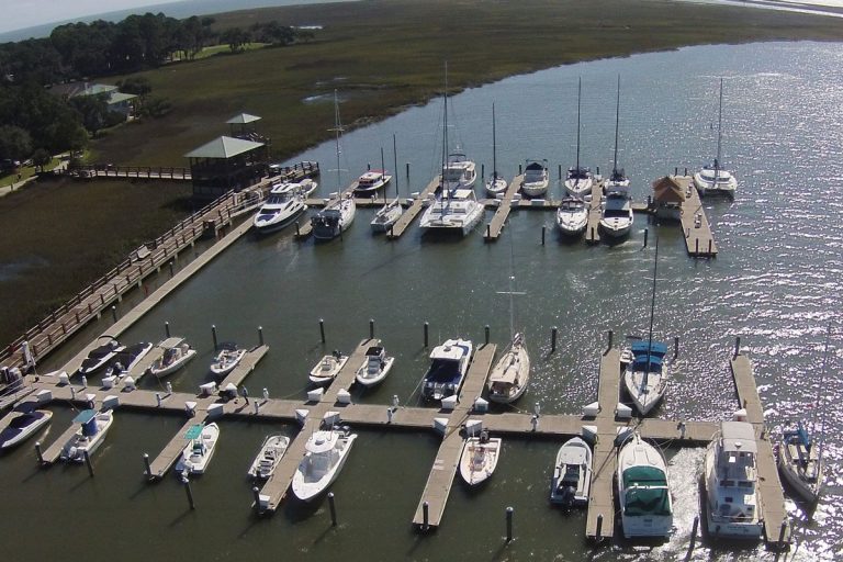
Dockage
- Average price per day:-
- Type:-
- Dockage depth:12
Information not accurate?
Help us improve by making a suggestion.