The Wave, Paria Canyon, and Arizona's Wildest Slot Canyons


The Wave, Paria Canyon, and Arizona's Wildest Slot Canyons
Vermilion Cliffs National Monument is one of the most visually extraordinary landscapes in the American Southwest and one of the least visited. Established on November 9, 2000, this 294,000-acre BLM-administered monument in northern Arizona’s Arizona Strip protects a dramatic suite of geological formations that rise from the Colorado Plateau: the Vermilion Cliffs themselves, the Paria Plateau, Paria Canyon, and Coyote Buttes, home of The Wave and White Pocket. Most travelers pass the cliffs on U.S. Highway 89A without knowing they are looking at one of the most spectacular and accessible geological exposures in North America.
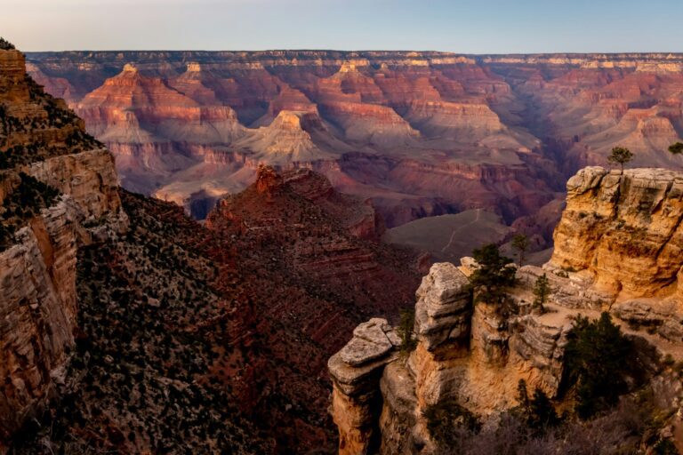
The Vermilion Cliffs run along the southern and eastern edges of the monument as a sandstone escarpment reaching 2,000 feet, its face striped in shades of red, orange, and purple by layers of the Chinle Formation, Moenave, and Kayenta formations. Above the cliffs, the Paria Plateau stretches north as a flat, sandy tableland accessible by high-clearance four-wheel-drive vehicles. At the plateau’s northwestern edge, Coyote Buttes holds The Wave, a rippled sandstone formation of cross-bedded Navajo sandstone that draws photographers from around the world. Access to Coyote Buttes North (The Wave) requires a permit through a lottery system managed by the BLM; permits are highly competitive and must be planned well in advance.
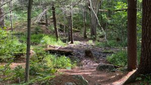
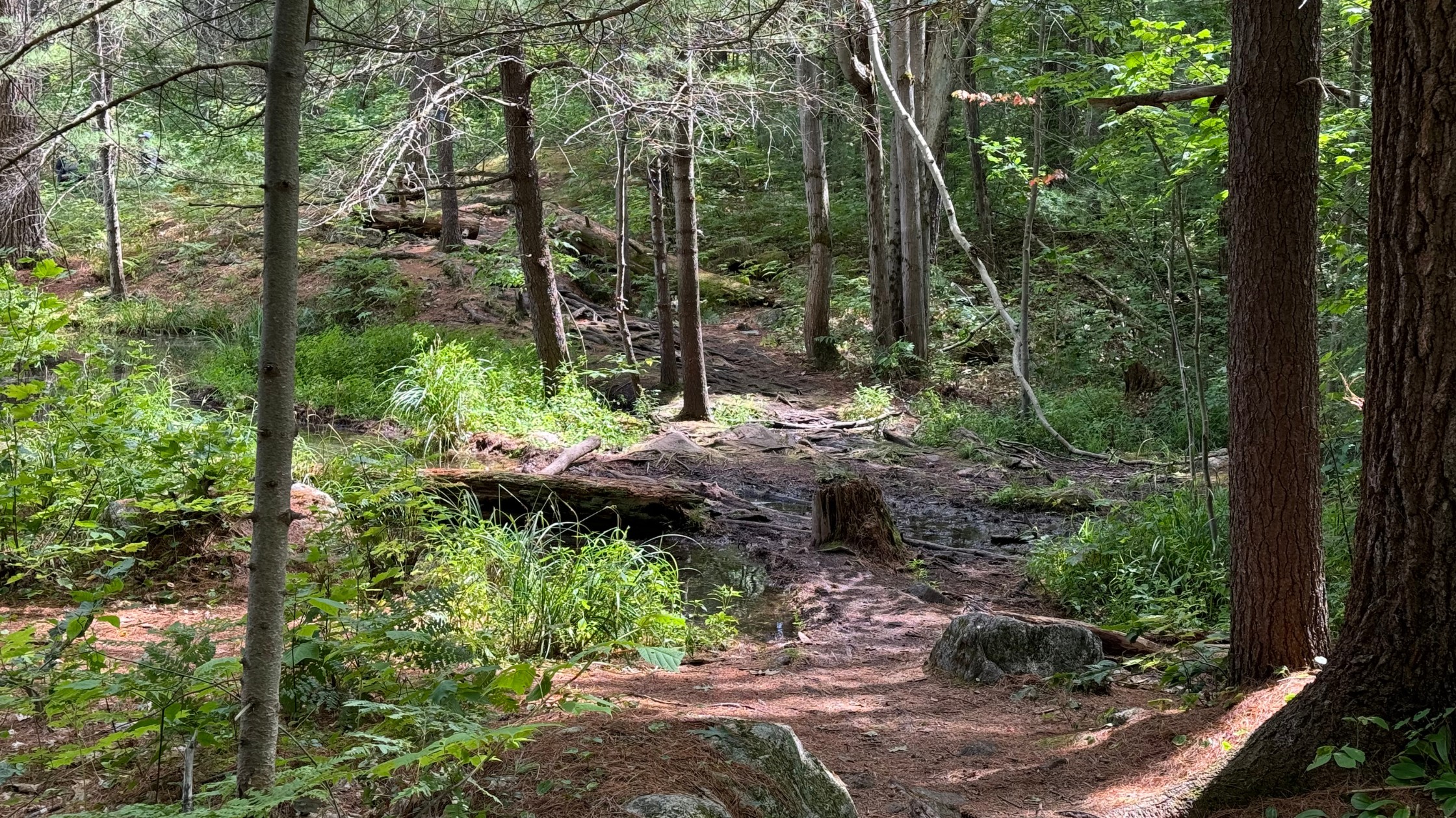
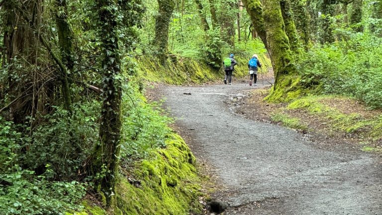
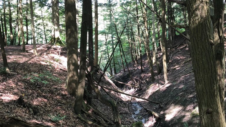
Paria Canyon is the monument’s other great draw, a 38-mile slot canyon backpacking route beginning at White House Trailhead in Utah and ending at Lee’s Ferry, Arizona, where the Paria River meets the Colorado. Hikers typically take three to five days for the through-route, navigating canyon walls that narrow to a few feet in places and reach 2,500 feet above the canyon floor. Permits are required for all overnight trips in Paria Canyon. Day hikes from Wire Pass to Buckskin Gulch, a 3.4-mile round trip through a spectacular slot canyon, offer non-permit access to some of the monument’s finest canyon scenery.
There are no paved roads inside the monument, no visitor centers within its boundaries, and no developed services on the monument itself. Most interior roads require high-clearance four-wheel-drive vehicles and can become impassable when wet. Flash flood risk in the slot canyons requires close attention to weather forecasts before any canyon entry.
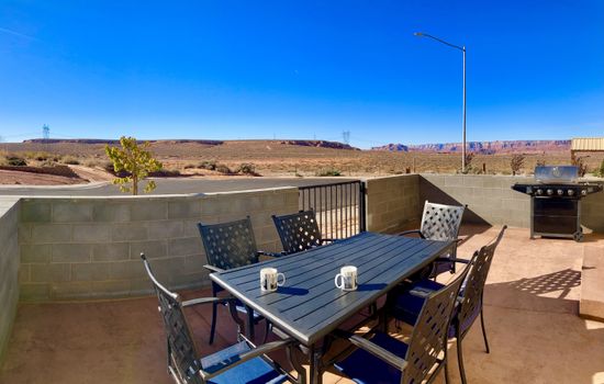
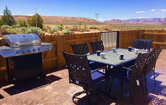
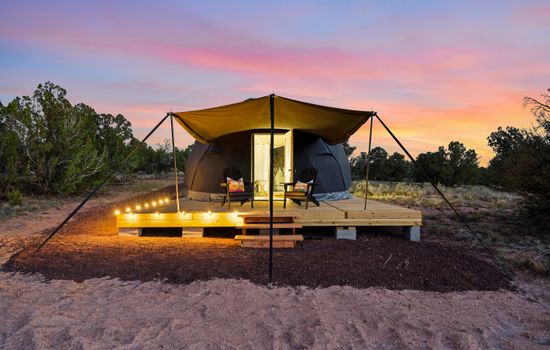
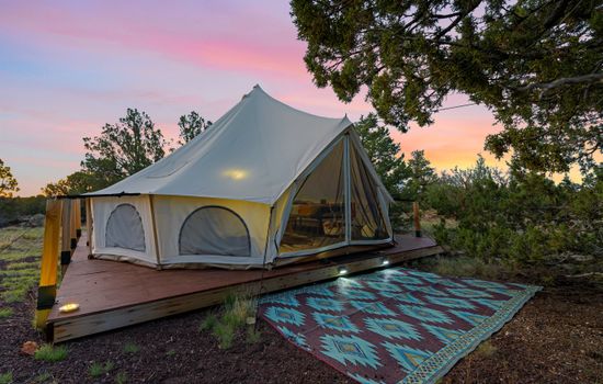
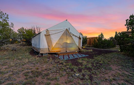
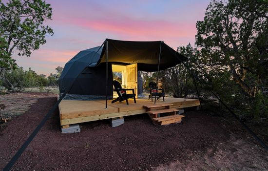
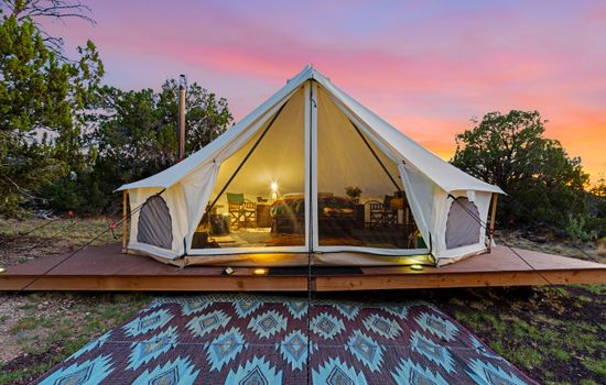
Kanab, Utah, about 40 miles northwest, is the most practical gateway with the widest selection of vacation rentals, pet-friendly cabins, cozy cottages, and luxury homes available for the region. Many Kanab rentals include beautiful desert views, outdoor fire pits, and relaxing amenities that make an excellent base for a multi-day exploration of the monument and the wider Colorado Plateau corridor between Zion National Park and the Grand Canyon’s North Rim.
Check blm.gov/visit/vcnm for current permit lottery dates, road conditions, and flash flood warnings. Book your accommodations for Vermilion Cliffs National Monument.
Seasons
In spring, from March to May, with mild temperatures (60s-70s°F), enjoy serene hiking and photography amidst vibrant landscapes. Witness condor sightings at the Condor Viewing Area, a highlight of the season. Ideal for avoiding crowds and basking in peaceful beauty.
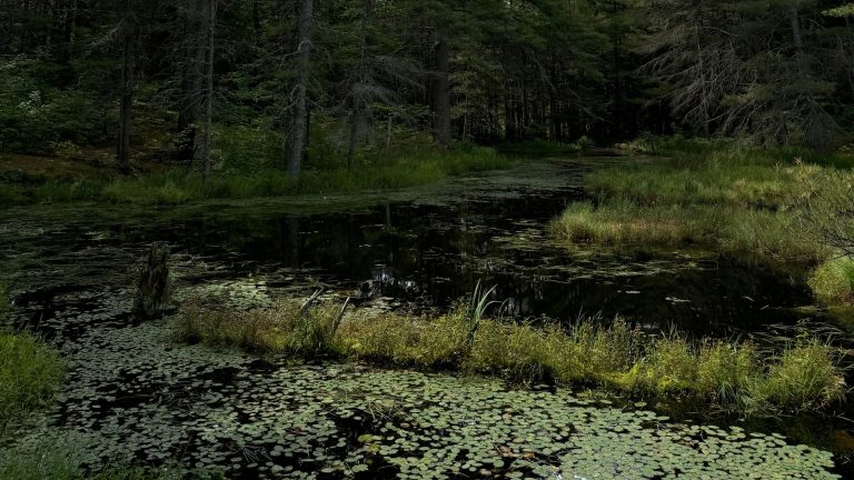
Summer brings sweltering temperatures (often over 100°F) and intense sun exposure, making it less ideal for visits. However, the vibrant blooming of sand dunes in moist years is a unique sight. No specific summer events, but the landscape’s dramatic colors are at their peak. Pack sunscreen and hydrate liberally.
In the fall, from September to November, with temperatures ranging from 40°F to 70°F, experience the serene beauty of this geological treasure. Mild weather and fewer crowds make it ideal for hiking and photography. Witness the annual condor migrations at the Condor Viewing Area, a unique autumn spectacle.
Experience winter’s serene beauty from December to February, with temperatures ranging from 29°F to 45°F. Crisp air, potential snow, and compacted sandy roads make for a tranquil and adventurous hike, especially after precipitation. Ideal for solitude and witnessing water’s impact on the desert landscape.
Top 3 Facts about Vermilion Cliffs National Monument
The Wave, within Coyote Buttes North in the monument’s northwestern corner, is a formation of rippled, cross-bedded Navajo sandstone that has become one of the most sought-after photography destinations in the American Southwest. Access is strictly limited by lottery permit, with approximately 64 permits issued per day. The lottery is administered by the BLM through recreation.gov.
Paria Canyon is a 38-mile slot canyon backpacking corridor beginning in Utah and ending at Lee’s Ferry, Arizona, where the Paria River joins the Colorado. The canyon walls narrow to just a few feet in places and rise 2,500 feet above the canyon floor. This multi-day wilderness route requires a permit and careful pre-trip weather monitoring due to flash flood risk.
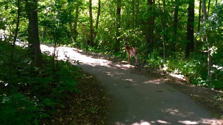
Vermilion Cliffs National Monument was established in 2000 partly to protect the reintroduction of the California condor, which had been nearly extinct with fewer than 30 individuals. The monument’s remote location and lack of human habitation made it an ideal release site. Today, the monument is home to a growing condor population, and sightings along Highway 89A and near Lee’s Ferry are relatively common.
Travel Tips
Plan Ahead
The Wave lottery at recreation.gov requires advance planning; online applications open four months ahead and walk-in permits are available the day before at the Paria Contact Station. Paria Canyon overnight permits are required and also available at recreation.gov. Check current road conditions before driving interior roads; most require high-clearance 4WD. There are no services, water, or cell coverage inside the monument. Carry extra fuel and a spare tire.
Pack Appropriately
Carry a minimum of four liters of water per person per day; no reliable water sources exist on the Paria Plateau. Bring a paper map and downloaded offline GPS maps, as cell service is unavailable in most of the monument. A high-clearance four-wheel-drive vehicle is required for most interior roads. Pack a spare tire, recovery gear, extra food, sun protection, and layers for cold desert nights year-round.
Respect Wildlife
California condors are protected by federal law; do not approach, feed, or disturb them. Desert bighorn sheep, pronghorn, and mountain lions inhabit the monument; give all wildlife a wide berth. Do not remove rocks, fossils, or any natural or cultural materials. Over 500 Ancestral Pueblo sites are located in the monument; do not disturb, enter, or remove artifacts from any archaeological feature.
Stay Informed
Check blm.gov/visit/vcnm for current road conditions, flash flood alerts, and permit information before entering. Flash floods can occur with no local warning when storms develop upstream. Never enter slot canyons when thunderstorms are present anywhere in the watershed. Contact the BLM Arizona Strip Field Office in St. George, Utah at 435-688-3200 for current conditions and emergency information.
- Area (mi²)
- 458
- Established year
- 2000
Accessibility & permits
Emergency
Planning a trip?
Tell us about your upcoming trip and how we can help!
Frequently Asked Questions
Ready to dive into what Vermilion Cliffs National Monument has to offer? Let’s tackle some of the burning questions you might have as you plan your visit!
-
You can stay in Kanab, Utah, or Page, Arizona, for easy access to the monument. Kanab offers various accommodations, including hotels and campgrounds, and is close enough for day trips. Page is another convenient option, especially if you plan to explore other nearby attractions like Antelope Canyon and Horseshoe Bend.
-
You can bring your dog to the external areas such as parking areas and along paved roads, but dogs must be on a leash and wear a collar with current tags. Dogs are not allowed on monument trails, even when leashed. They must be kept under control at all times.
-
Yes, there is a fee to enter, which is about $10 per car, including all the people in the car. You can also use a federal pass for entry.
-
Visit The Wave, a unique rock formation in Coyote Buttes, which requires a permit and is limited to 20 visitors per day. Explore the slot canyons in the Paria Canyon-Vermilion Cliffs Wilderness and hike to the top of the Vermilion Cliffs. Take a scenic drive and visit Marble Canyon, where you can see the historic Navajo Bridge and enjoy views of the Colorado River.