Glaciers, Old-Growth Trails, and Cascades Scenery Year-Round


Glaciers, Old-Growth Trails, and Cascades Scenery Year-Round
Stretching more than 140 miles along the western slopes of the Cascade Mountains, Mt. Baker-Snoqualmie National Forest covers 1.7 million acres of ancient forest, glacier-capped volcanoes, alpine meadows, and wild river corridors. Running from the Canadian border south to the edge of Mt. Rainier National Park, it is one of the most visited national forests in the country, a distinction driven partly by geography: over 60 percent of Washington’s population lives within roughly an hour’s drive. Yet the scale of the land ensures that genuine wilderness and quieter trails are never far.
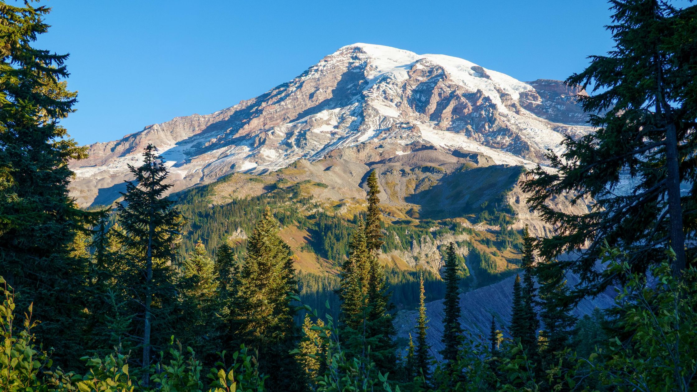
Two volcanoes anchor the skyline. Mt. Baker, an active, glacier-covered stratovolcano rising to 10,778 feet, is the iconic centerpiece of the northern forest, visible from Bellingham on clear days and cloaked in more glacial ice than any other Cascade peak. More than 1,800 miles of trail spread across four ranger districts. The two-mile Franklin Falls Trail near Snoqualmie Pass leads families through old-growth to a 70-foot waterfall with almost no elevation gain. The half-mile Shadow of the Sentinels walk moves through 600-year-old Douglas firs on a fully accessible path. The Heliotrope Ridge Trail climbs to the edge of the Coleman Glacier, and the Chain Lakes Loop near Artist Point links subalpine lakes beneath the jagged profile of Mt. Shuksan.
The Mount Baker Scenic Byway (State Route 542) winds 57 miles from Bellingham to Artist Point, passing Picture Lake, where Mt. Shuksan’s reflection in still water produces one of the most photographed views in Washington. The road is typically open July through October. Winter is equally compelling: Mt. Baker Ski Area holds a single-season world snowfall record (1,140 inches in 1998-99), and the Snoqualmie Pass corridor puts multiple resorts within 50 miles of Seattle. From November through February, the Skagit River draws one of the largest wintering bald eagle populations in the United States.
Families find the forest accommodating at every ability level, from the accessible Sentinels path to the waterfall walk at Franklin Falls to full-day alpine hikes. Multi-generational groups do well splitting time between scenic drives, shorter trails, and time near Baker Lake. Pet-first travelers should know that leashed dogs are welcome on most trails, though rules vary by area. Always confirm current pet policies at fs.usda.gov/mbs before heading out.
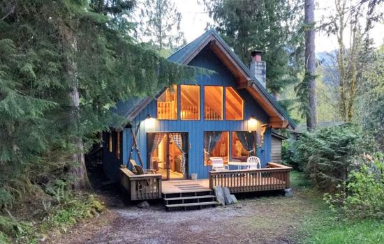
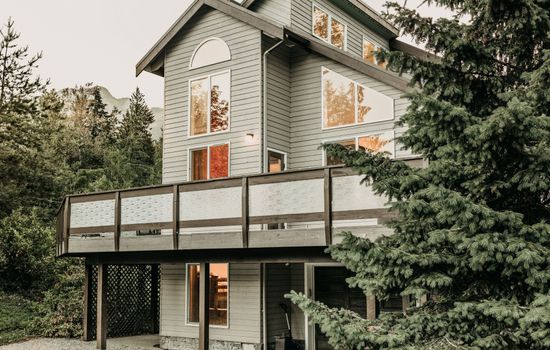
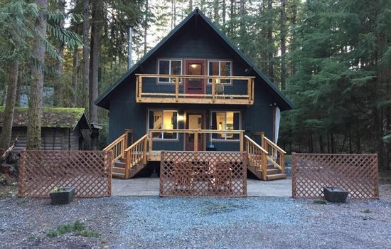
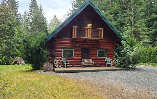
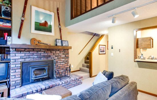
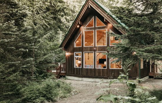
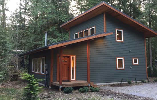
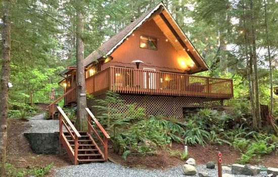
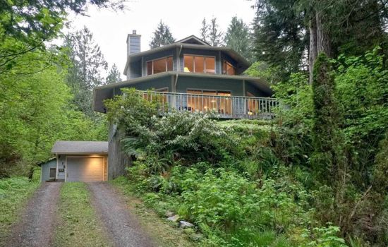
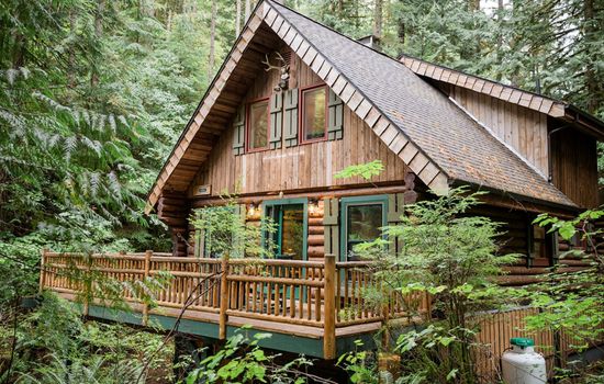
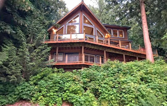
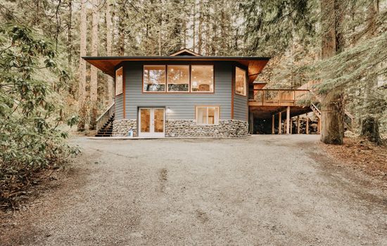
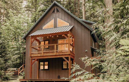
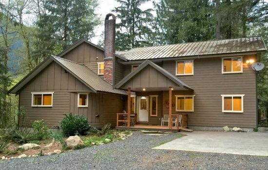
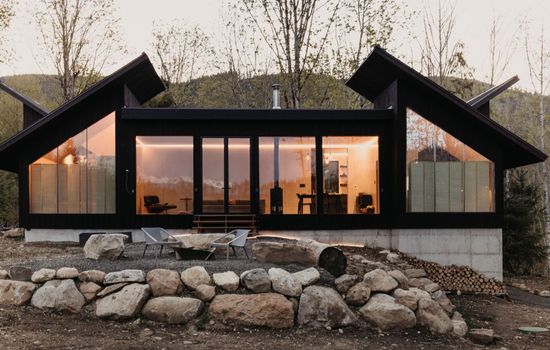
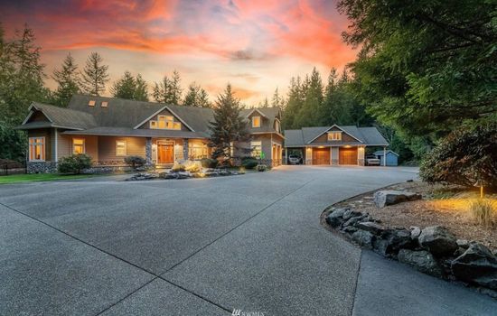
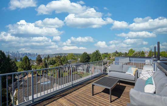
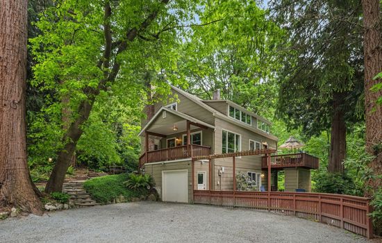
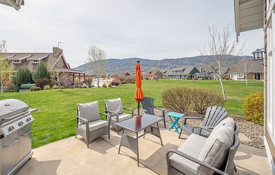
Gateway communities near the forest offer solid options for overnight stays. The small town of Glacier, WA, has cozy cabins close to SR 542 trailheads. Near Snoqualmie Pass and North Bend, vacation homes with multiple bedrooms and full kitchens serve groups comfortably. Lakeside rentals near Baker Lake and along the Skagit Valley offer beautiful waterfront views after days in the mountains. Larger groups can find spacious homes that sleep everyone together, with the amenities and kitchen space to make multi-day Cascades trips relaxed and easy to coordinate. Book your accommodations near Mt. Baker-Snoqualmie National Forest through Lake.com.
Seasons
Spring brings snowmelt and surging waterfalls, making mid-elevation trails like the Franklin Falls path a popular early-season destination while higher routes remain snow-covered. The Artist Point road is typically closed through June and often into early July. Wildflowers begin appearing in lower forest zones by April and advance upslope through May. Expect muddy conditions on many trails and check road and trail status at fs.usda.gov/mbs before heading out.
Summer is peak season across the forest. Artist Point is typically accessible from early July, and the Chain Lakes Loop, Skyline Divide, and Heliotrope Ridge trails draw steady weekend crowds through August. Subalpine wildflower meadows near Mt. Baker peak in late July. Start early on popular trailheads; parking fills before midday on sunny weekends. Campground reservations should be made months in advance for summer holiday weekends.
Fall brings quieter trails, cooling temperatures, and some of the most vivid scenery of the year. Huckleberry fields and valley deciduous trees shift to red, orange, and gold through September and October. The Artist Point road typically closes to vehicles in late October with the first significant snowfall. Bald eagles begin arriving along the Skagit River as early as November, making late fall the start of prime wildlife viewing season in the valley.
Winter transforms the forest into one of North America’s premier snow destinations. Mt. Baker Ski Area is renowned for extreme terrain and record-breaking snowfall; the Snoqualmie Pass resorts, closer to Seattle, offer skiing and snowboarding for all ability levels including beginners. Artist Point becomes a popular snowshoe destination accessible only by foot after road closure. Bring tire chains, required November through April on many mountain routes, and check current road conditions before driving.
Top 3 Facts about Mt. Baker-Snoqualmie National Forest
Mt. Baker-Snoqualmie National Forest covers 1.7 million acres and extends more than 140 miles along the western Cascades from the Canadian border to Mt. Rainier National Park. It contains more than 1,800 miles of trail, 37 campgrounds, and nine designated wilderness areas that protect nearly half of the forest, including old-growth stands that have stood for more than 600 years.
Mt. Baker, the dominant 10,778-foot stratovolcano in the northern forest, is surrounded by 13 glaciers and more glacial ice than any other Cascade peak outside Alaska. Mt. Baker Ski Area, on the mountain’s southern slopes, recorded the world-record single-season snowfall of 1,140 inches during the 1998-99 winter season, a benchmark that still stands.
The Skagit Wild and Scenic River System, designated by Congress in 1978, runs 125 miles through the forest. Each winter from November through February, the Skagit River corridor attracts one of the largest wintering bald eagle populations in the United States, drawing wildlife watchers from across the region to roadside viewing areas along the valley.
Travel Tips
Plan Ahead
A Northwest Forest Pass or America the Beautiful Pass is required at most developed trailheads. Download the recreation.gov app before your trip for cashless payment at trailheads. Campground reservations on recreation.gov book months ahead for summer weekends. The Artist Point road is typically open July through October; check fs.usda.gov/mbs for current road conditions, trail closures, and permit requirements before heading to high elevations.
Pack Appropriately
Layer with moisture-wicking base layers and a waterproof outer shell; Cascade weather shifts quickly and summer days can turn rainy and cold at elevation. Sturdy, waterproof hiking boots are recommended on most trails. Bring a downloaded offline map as cell service is unreliable throughout much of the forest. Carry enough drinking water for the full outing, as many trails have limited or unsafe sources. Bear canisters are required in some wilderness areas.
Respect Wildlife
Maintain a safe distance from all wildlife, including black bears, mountain goats, and deer. Never feed or approach animals. Store food in bear-resistant canisters or hang it per forest guidelines in wilderness areas. Keep leashed pets under control at all times and away from wildlife. From November through February, observe bald eagles along the Skagit River only from designated viewing areas and give birds ample space to feed undisturbed.
Stay Informed
Check fs.usda.gov/mbs before your visit for current trail closures, road conditions, campfire restrictions, and permit updates. Wilderness permits are required in some areas; confirm requirements for your specific destination before leaving home. Monitor the Washington State Department of Transportation site for road conditions on SR 542 and Mountain Loop Highway. For emergencies, call 9-1-1. For forest information, call (425) 783-6000.
- Established year
- 1974
Emergency
Planning a trip?
Tell us about your upcoming trip and how we can help!
